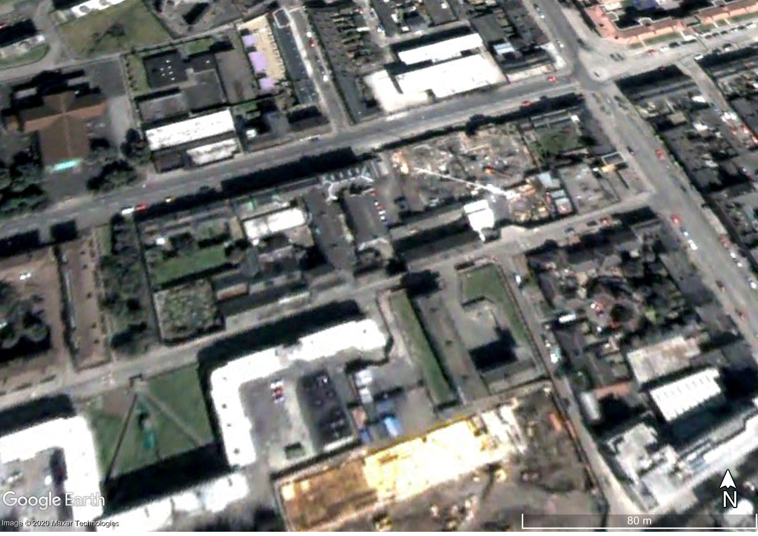
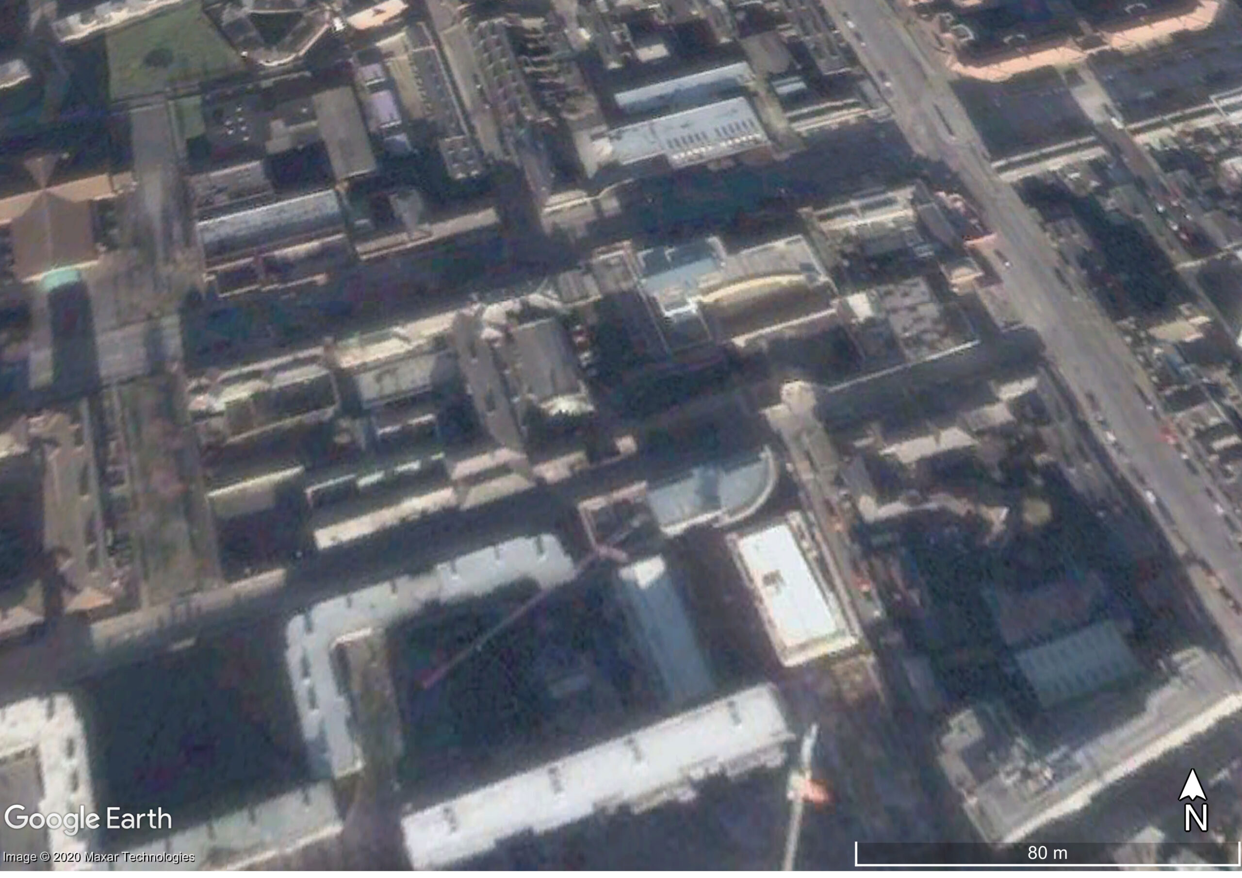
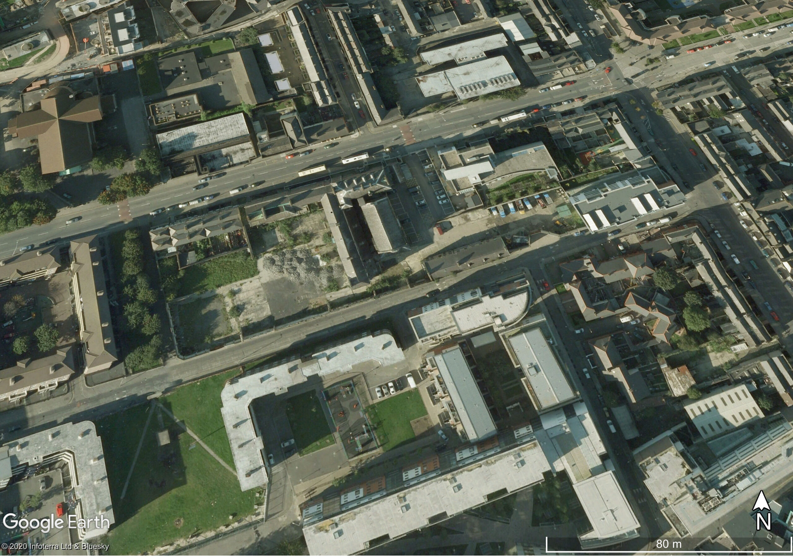
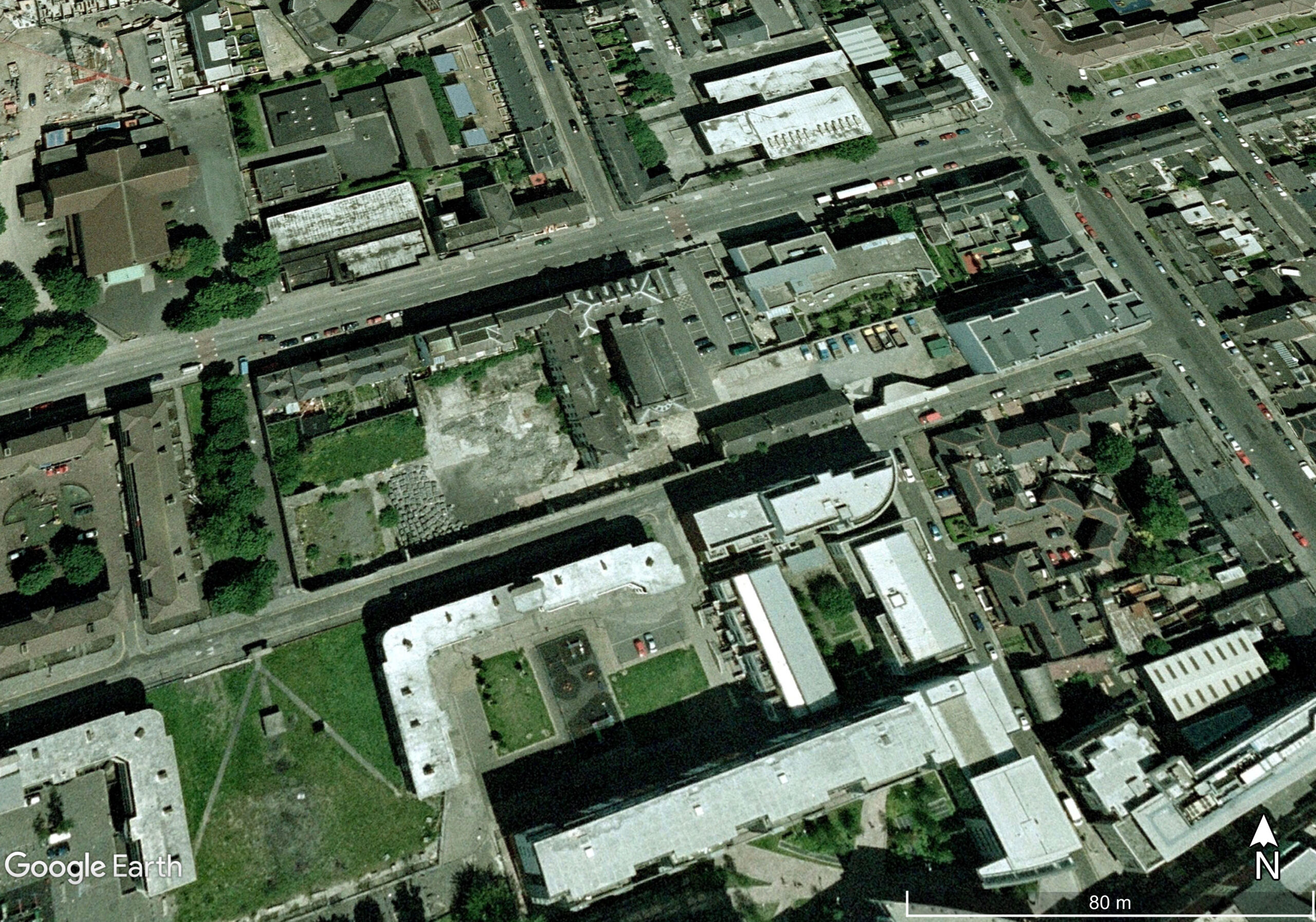
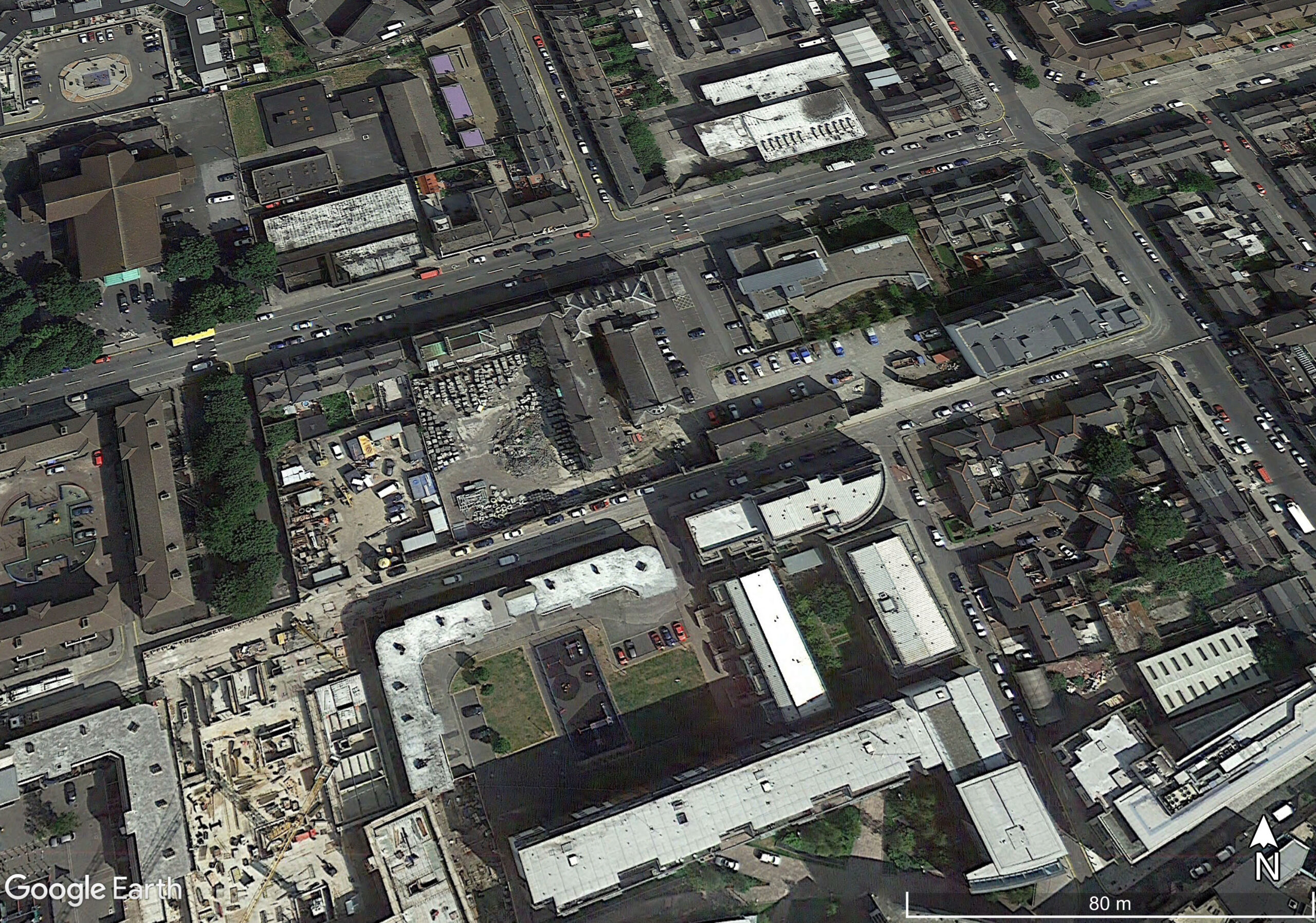
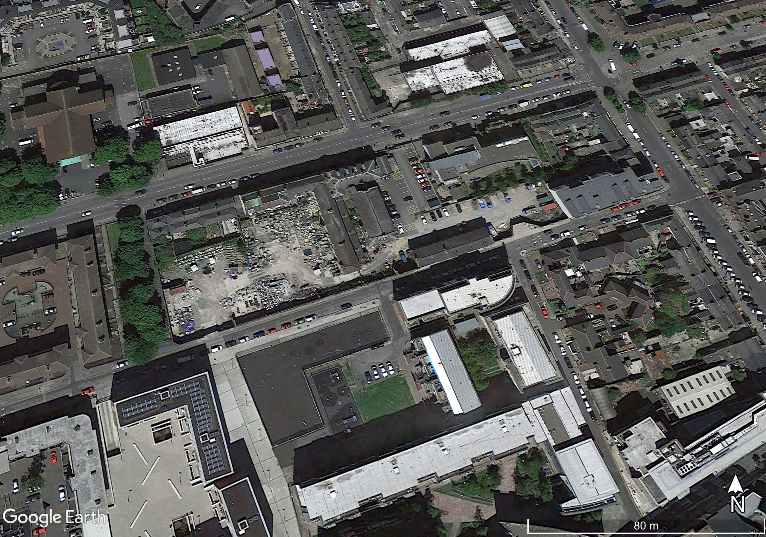
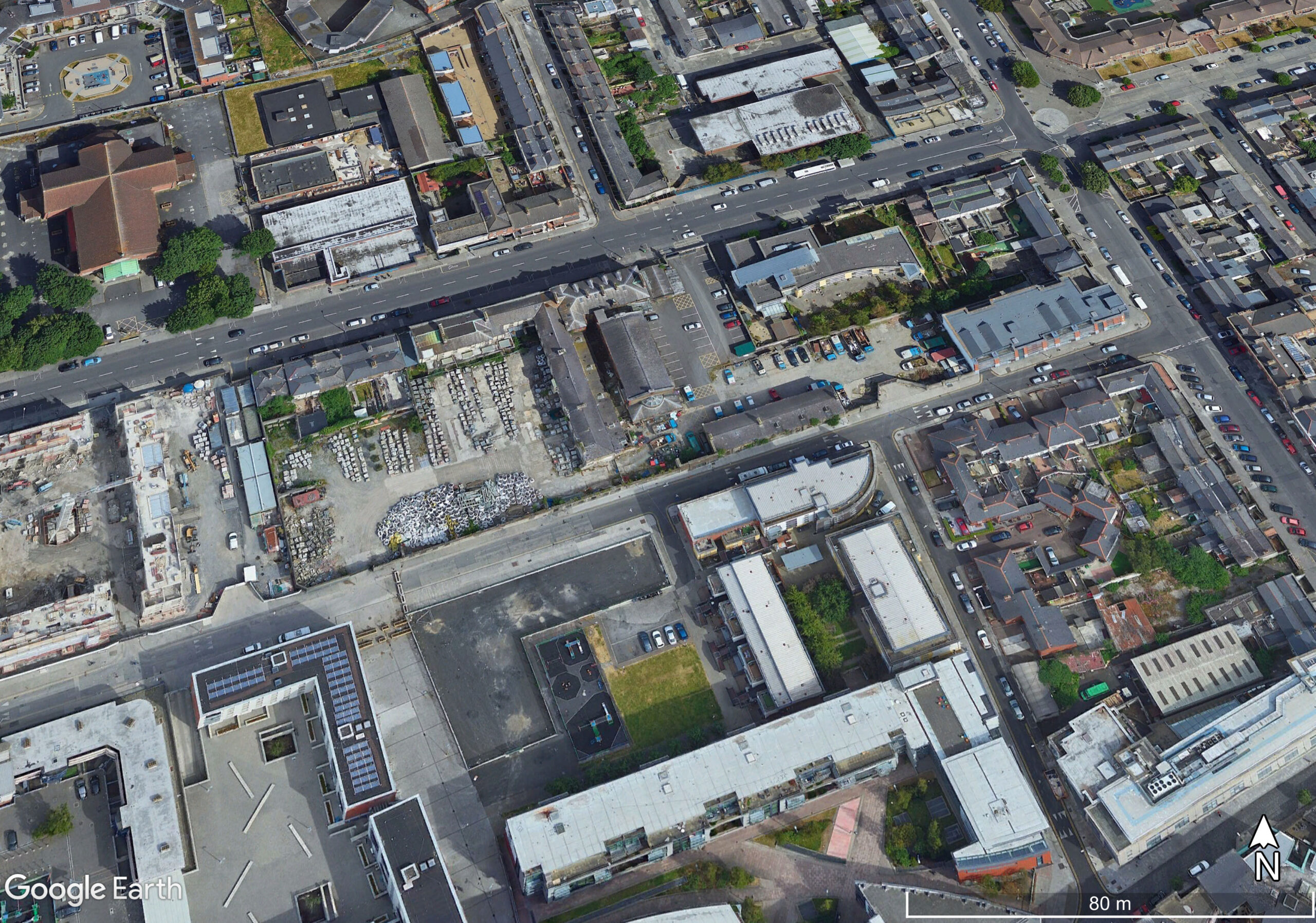
The aerial and satellite imagery provided by Google Maps and Google Earth can be of huge help which creating digital reconstructions such as the Atlas of Lost Rooms, especially for those parts of the site which remain standing as of 2020.
One helpful aspect of Google Street view is the accidental inclusion of pedestrians on occasion in the images. These help to give a sense of scale to the scene when viewing digitally. Note how tall the boundary wall onto Railway Street below is, and how difficult an object these walls would have presented to anyone trying to escape.
One other useful tool is Google Earth’s ability to show historic satellite imagery of the same site over a period of years. The earliest views of the Sean MacDermott St Laundry available date from 2003, and so they show the roofscape of the site prior to the demolitions in 2006.
By following these images sequentially through time, it is possible to track both the demolition of the Sean MacDermott St Laundry buildings, and also the development of the surrounding area.
